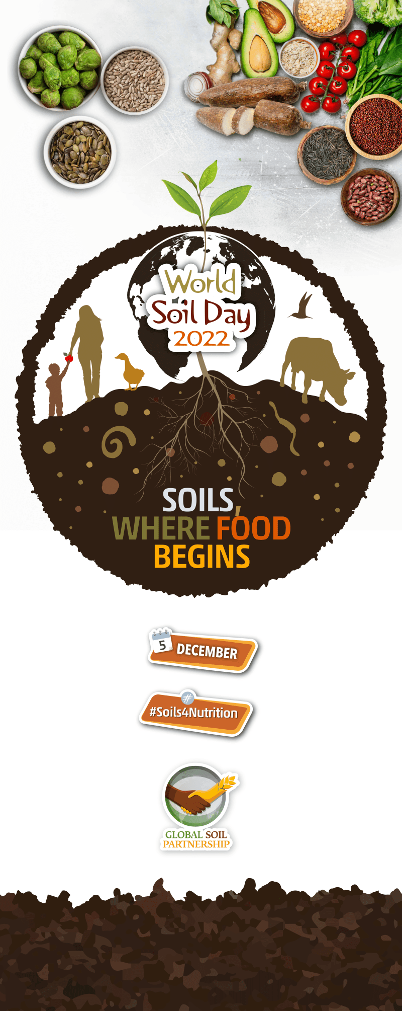
World Soil Day 2022

The colours of the Greek soil
This map depicting the colour of the Greek soils was developed by the Soil DataCube of the Laboratory of Remote Sensing, Spectroscopy, and Geographical Information Systems of the Aristotle University of Thessaloniki, Greece in cooperation with the Interbalkan Environment Center (i-BEC).
It used data from the Copernicus Sentinel-2 satellite imagery for the years 2018 to 2022 to create a baresoil mosaic in a cloud-optimized GeoTiff for the entire country. Baresoils were identified using appropriate thresholds at specific band indices.
Earth Observation Data-Driven cropland soil monitoring is currently undergoing a significant shift. In this context, the spatial and temporal evolution of soil color map enables us to understand local and global soil changes by evaluating hey parameters such soil organic carbon changes, environmental degradation, moisture seasonality.
Our team celebrates the international World Soil Day of 2022 by making this map public.